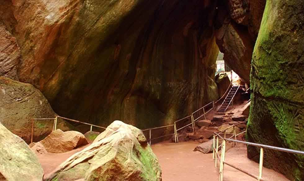
Edakkal Caves
The Edakkal caves are two natural caves at a remote location at Edakkal, 25 km (15.5 mi) from Kalpetta in the Wayanad district of Kerala in India. Historian Raghava Varier of the Kerala State Archaeology Department identified a depiction as "man with jar cup" that is the most distinct motif of the Indus valley civilization.
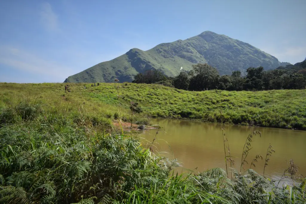
Chembra Peak
Chembra Peak (Chembra Mala) is a mountain in the state of Kerala, India, with an elevation of 2,100 m (6,890 ft) above sea level.[2] The highest peak in the Wayanad hills and one of the highest peaks in the Western Ghats, adjoining the Nilgiri Hills and Vellarimala.
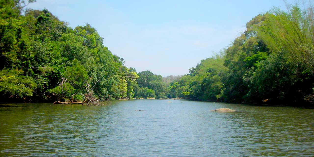
Kuruva Island
Kuruva Island comprises three densely wooded uninhabited islands and a few submergible satellite islands, which lies on the banks of the tributaries of Kabini River in the Wayanad district, Kerala, India. It is uninhabited island, which is home to rare species of birds, orchids, herbal plants etc.
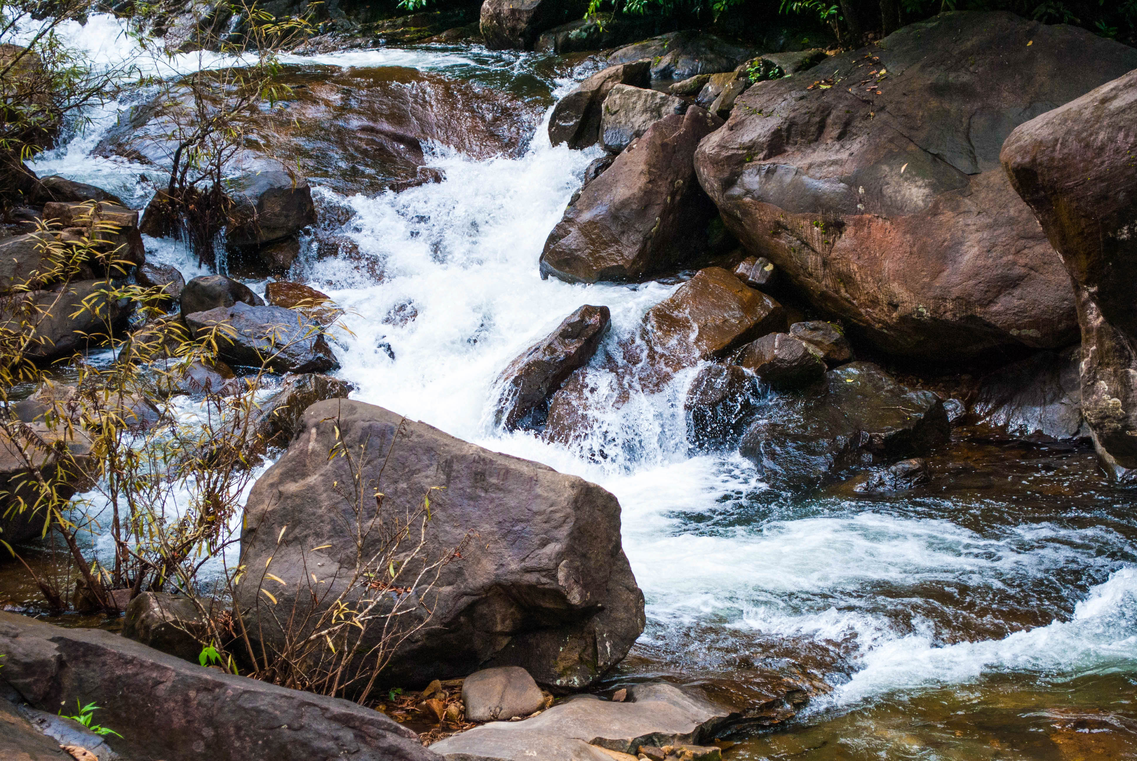
Meenmutty Waterfalls
The Meenmutty Waterfalls are located near the Ponmudi hill station, Thiruvananthapuram district and Agastya Mala Biosphere reserves.This waterfalls is situated along the upper riparian course of Vamanapuram River.